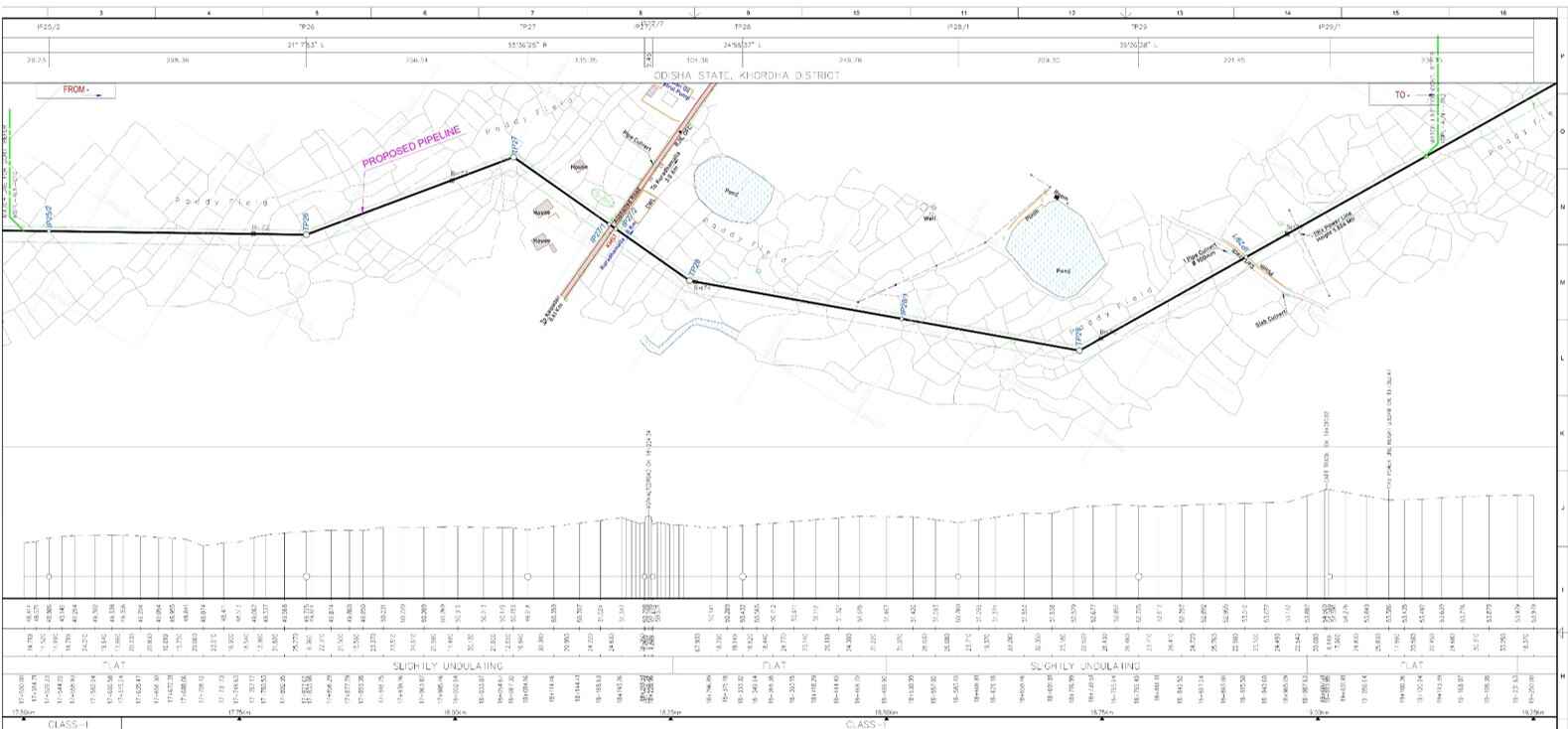
About Pipeline Survey/ Alignment Survey
Pipeline Survey/ Alignments surveys are widely provided for design, safety and protection purpose of linear infrastructure projects such as pipeline routes, canals, highways, etc. The alignment surveys include horizontal & vertical alignment of the ground profile along the proposed route along with cross sections.
Alignment surveys are one of the most important and crucial process for linear projects. For these, the surveyors utilize various tools and techniques such as GPS (Global Positioning System), total stations, aerial surveys, LiDAR (Light Detection and Ranging), and GIS (Geographic Information System) to gather accurate data and create detailed alignment plans. The collected data is used to create alignment sheets that guide the design and construction processes, ensuring optimal placement and adherence to engineering standards. The survey results serve as a basis for subsequent engineering and construction activities.